Comprehensive ocean intelligence solutions for Indonesia's maritime sector
Monitor ocean conditions across Indonesia's vast maritime territory using advanced satellite data and remote sensing technology. Our systems continuously track key oceanographic parameters to provide a comprehensive picture of marine conditions.
Process and analyze satellite imagery to extract actionable oceanographic insights. Our advanced processing pipeline generates temporal comparisons to identify patterns and trends in ocean conditions over time.
Track and identify fishing vessels across Indonesian waters using satellite imagery alone -- no AIS transponder required. Our vessel detection technology works even when vessels have disabled or lack tracking devices, enabling comprehensive monitoring of fishing activity patterns and compliance verification.
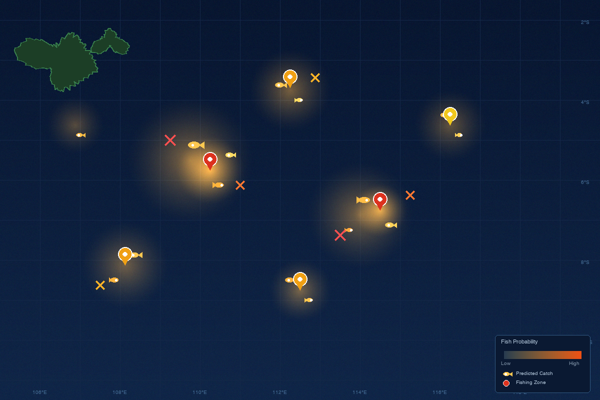
Our flagship KapikanMaps platform uses AI-powered machine learning models to analyze oceanographic data and predict high-probability fishing zones. These predictions are delivered directly to fishers through our mobile application, helping them make data-driven decisions about where and when to fish.